
Maps made easy
Finding out what’s happening on your land or in your neighbourhood just got a whole lot easier. Far North District Council has launched Far North Atlas/Kohinga Mahere, an innovative digital mapping platform that brings property and planning information together in one simple, user-friendly web app.
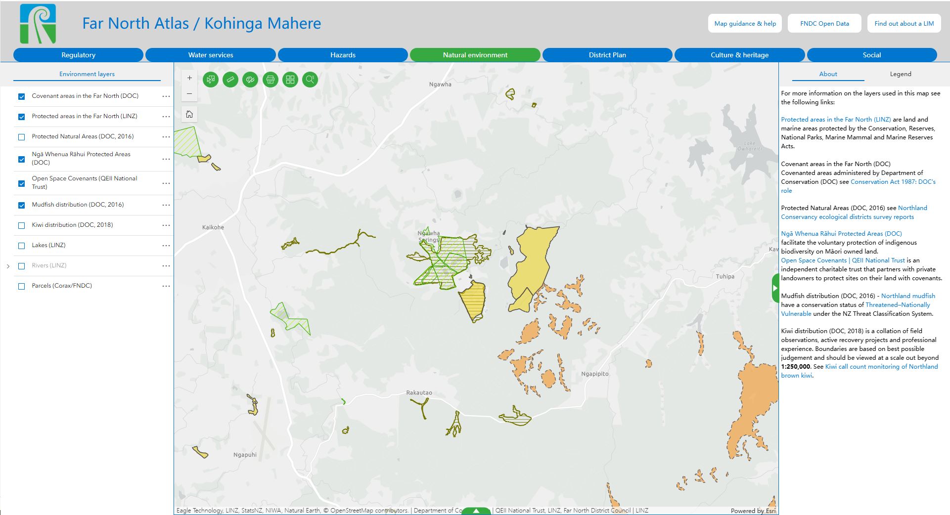
Gone are the days of switching between multiple maps – the new map combines several separate maps into one. It lets users search for an address or zoom in on an area, then turn on map layers to display details like zoning, protected areas, and consent information on or near an area.
The new tool comes after residents and developers asked for clearer, easier ways to access map data. With many of the council’s older map tools now being retired, Far North Atlas/Kohinga Mahere steps in to provide a modern solution that keeps up with the district’s growth and demand for information.
You can find the new map here.
Tags: News story